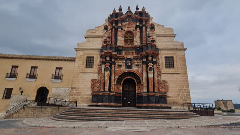
La Vía Verde del Noroeste
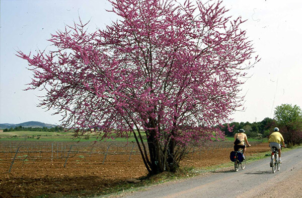
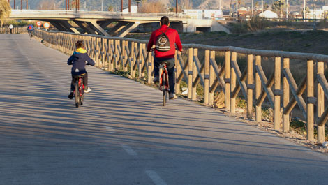
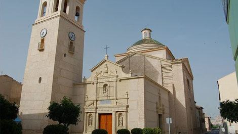
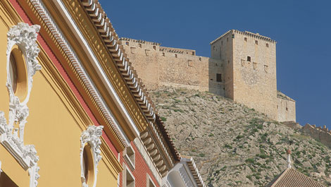
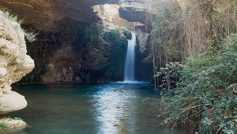
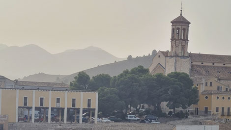
La Vía Verde del Noroeste of the Region of Murcia makes use of the old railway track between Murcia and Caravaca de la Cruz. Along its way there are plenty of varied sceneries where we can find an important piece of the natural and cultural heritage of the Region of Murcia. There are three natural landscapes included in the Red Natura 2000, a great amount of places catalogued as Bien de Interés Cultural (BIC) and the distinction as historical sites of high cultural value of the historical centre of Caravaca de la Cruz, Cehegín and Mula.
The itinerary offers 78 kms of natural road, where we can enjoy a great variety of landscapes, the charming and kindness of the villages through which the Vía goes by, their traditions, culture and gastronomy. On our way we can find several rest areas and a network of hostels (www.alverdes.es) where an appropriate service of lodging, catering and touristic activities is provided. The Northwest Vía Verde lets us enjoy a privileged, full of history environment in a respectful way.
LOCATION
Between Murcia and Caravaca
CONNECTIONS
Murcia:
From Alicante, Almería and Granada: Highway A-7.
From Albacete: Highway A-30
Caravaca de la Cruz:
From Almeria and Granada: Highway A-7 exit 595, road C-3211 towards Caravaca de la Cruz.
From Albacete: Highway A-30 exit 89, road C-3314 towards Calasparra.
CONSORCIO DE LAS VÍAS VERDES DE LA REGIÓN DE MURCIA
Northwest Office
Antigua Estación del Tren - Camino de la Estación s/n
30400 Caravaca de la Cruz (Murcia)
Teléfono: 868 185 185 - Fax: 868 185 186
www.viaverdedelnoroeste.com
http://www.viasverdesregiondemurcia.es/
www.facebook.es/viaverdedelnoroeste
ITINERARIO VIA VERDE DEL NOROESTE
Campus de Espinardo - Alguazas (10,7 km)
Espinardo's university campus is now the starting point of the Vía Verde. From here we pass next to the Cabezo del Aire and go through the only tunnel in this section, which leads us to Ribera de Molina. Until we get to Molina de Segura, the Vía Verde runs parallel to the river Segura, and then takes a 90º turn to the west, which forces us to cross the river and go through its meadow until we arrive to Alguazas. The influence of the river Segura is noted along this first stage, from both the botanical and the animal point of view.
Alguazas - Mula (24,6 km)
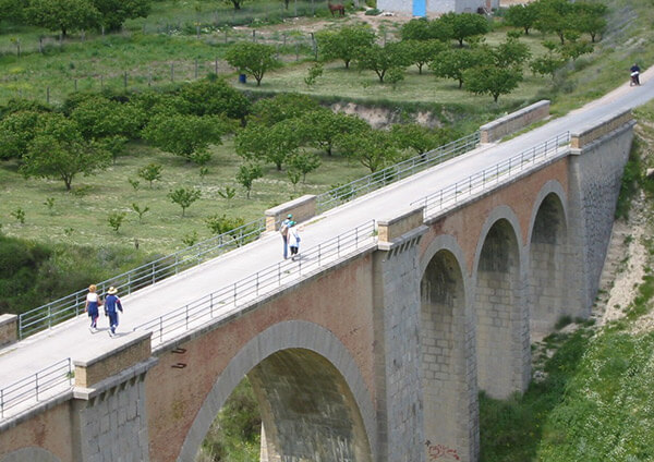
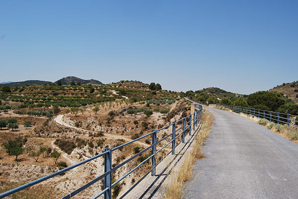
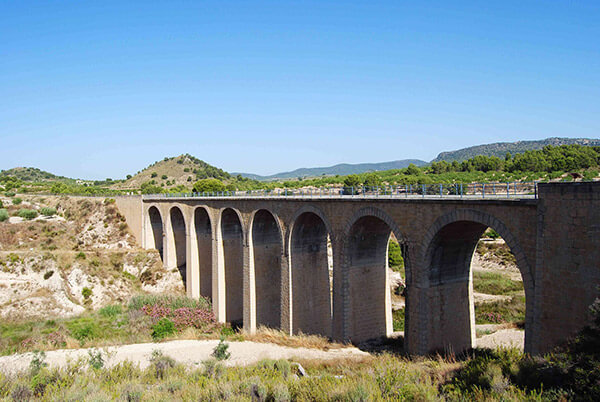
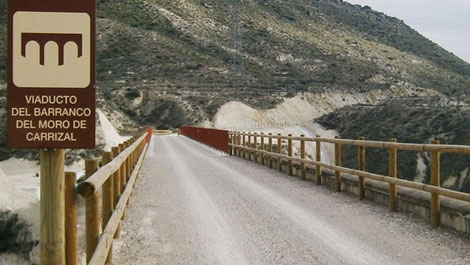
We leave the Segura meadow to go through the river Mula basin, an affluent of the former. We are in the driest part of the Vía Verde, sprinkled with little orchards every now and then. The soft slopes of hills, smaller than 190 metres height, dominate the scenery. The Muela de Albudeite, The Barranco de Monroy and the Rambla de Perea, with their great alluviums in the margins, are some of the most important milestones of the landscape. The bridges that go through some of these enclaves are a must to watch local fauna and flora.
Mula - Bullas (21,4 km)
We leave the Segura meadow to go through the river Mula basin, an affluent of the former. We are in the driest part of the Vía Verde, sprinkled with little orchards every now and then. The soft slopes of hills, smaller than 190 metres height, dominate the scenery. The Muela de Albudeite, The Barranco de Monroy and the Rambla de Perea, with their great alluviums in the margins, are some of the most important milestones of the landscape. The bridges that go through some of these enclaves are a must to watch local fauna and flora.
Bullas - Caravaca de la Cruz (21 km)
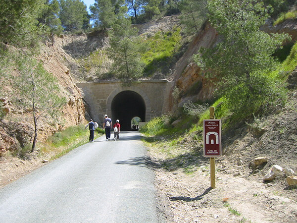
From Mula the route goes into the first mountain zones, adding new attractions to the landscape, the flora and the fauna. Being the steepest stage it also has the greatest number of tunnels and bridges. The four tunnels of this stage, parallel to a RM boxed inside the mountain, let us see Aleppo pine woods and bushes halfway up the mountain, especially when the road, going through the Paraje de la Luz, crosses the RM for the last time.


